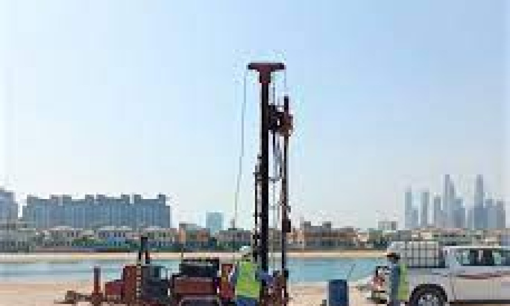
The planet beneath our feet is riddled with mysteries that must be solved. Geophysical surveying services are critical in putting light on these mysteries. Geophysical surveys provide essential insights into the hidden depths of our world, from detecting buried artifacts and comprehending geological formations to appraising natural resources and spotting potential risks. In this article, we'll look at the importance of geophysical surveying services and the techniques and uses that make them vital in a variety of industries.
1. Understanding Geophysical Surveying:
Geophysical surveying involves the use of specialized equipment and techniques to study the physical properties of the Earth's subsurface. By analyzing variations in the Earth's magnetic, gravitational, electrical, and seismic characteristics, geophysicists can map subsurface structures and identify geological features that are otherwise invisible to the naked eye.
2. Techniques Used in Geophysical Surveys:
a. Magnetic Surveying: Magnetic surveying measures variations in the Earth's magnetic field to detect subsurface features like buried structures, archaeological remains, and mineral deposits. By utilizing magnetometers, geophysicists can identify variations in magnetic properties, providing valuable insights into the underlying geology.
b. Electrical Resistivity Imaging: This technique involves injecting electrical currents into the ground and measuring the resulting voltage differences. By analyzing the resistance of the subsurface materials, geophysicists can create detailed maps that help identify groundwater resources, evaluate soil composition, and locate underground utilities.
c. Ground-Penetrating Radar (GPR): GPR employs radar pulses to penetrate the ground and create detailed images of subsurface structures. It is widely used in archaeological investigations, locating buried objects, and mapping geological formations, including bedrock and soil layers.
d. Seismic Reflection and Refraction: Seismic surveys use artificially generated vibrations to measure the response of subsurface layers. By analyzing the travel time and amplitude of seismic waves, geophysicists can determine the depth and composition of underground structures, such as oil and gas reservoirs.
3. Applications of Geophysical Surveying:
a. Archaeology and Cultural Heritage: Geophysical surveys aid in archaeological site exploration and mapping, allowing researchers to identify buried structures, artifacts, and ancient settlements without the need for extensive excavation. This non-intrusive approach helps preserve cultural heritage while providing valuable historical insights.
b. Environmental and Engineering Studies: Geophysical surveys are vital in environmental impact assessments, assessing groundwater resources, and characterizing soil conditions for construction projects. They assist in identifying potential hazards like sinkholes, underground cavities, and contaminated sites, ensuring safer and more informed decision-making.
c. Natural Resources Exploration: Geophysical methods are extensively used in mineral and hydrocarbon exploration. By mapping subsurface structures, identifying potential deposits, and assessing their characteristics, geophysical surveys contribute to efficient resource exploration and extraction, minimizing environmental impact.
d. Geotechnical Investigations: Geophysical surveys play a crucial role in evaluating the stability of the ground for infrastructure projects. By assessing soil composition, detecting subsurface anomalies, and identifying potential hazards such as landslides or sinkholes, geotechnical engineers can make informed decisions to ensure the safety and longevity of structures.
4. Advancements and Future Prospects:
Because of technical improvements, the area of geophysical surveying is continuously evolving. Advanced sensors, data processing techniques, and remote sensing platforms are examples of innovations that improve survey accuracy, resolution, and cost-effectiveness. Furthermore, combining geophysical data with other geographic information enables more thorough analysis and interpretation.
Looking ahead, geophysical surveying services have enormous promise in solving global issues such as climate change, resource shortages, and urban planning. The combination of geophysical approaches with artificial intelligence and machine learning will improve data interpretation and allow for more accurate forecasting and modeling.
Conclusion:
Geophysical surveying services have revolutionized our understanding of the Earth's subsurface, unlocking valuable insights into our planet's history, resources, and hazards. From unraveling archaeological mysteries to supporting infrastructure development and resource exploration, these surveys play an indispensable role in numerous industries. As technology continues to advance, geophysical surveying services will undoubtedly continue to shape our understanding of the hidden secrets beneath our feet, contributing to a more sustainable and informed future.


You must be logged in to post a comment.